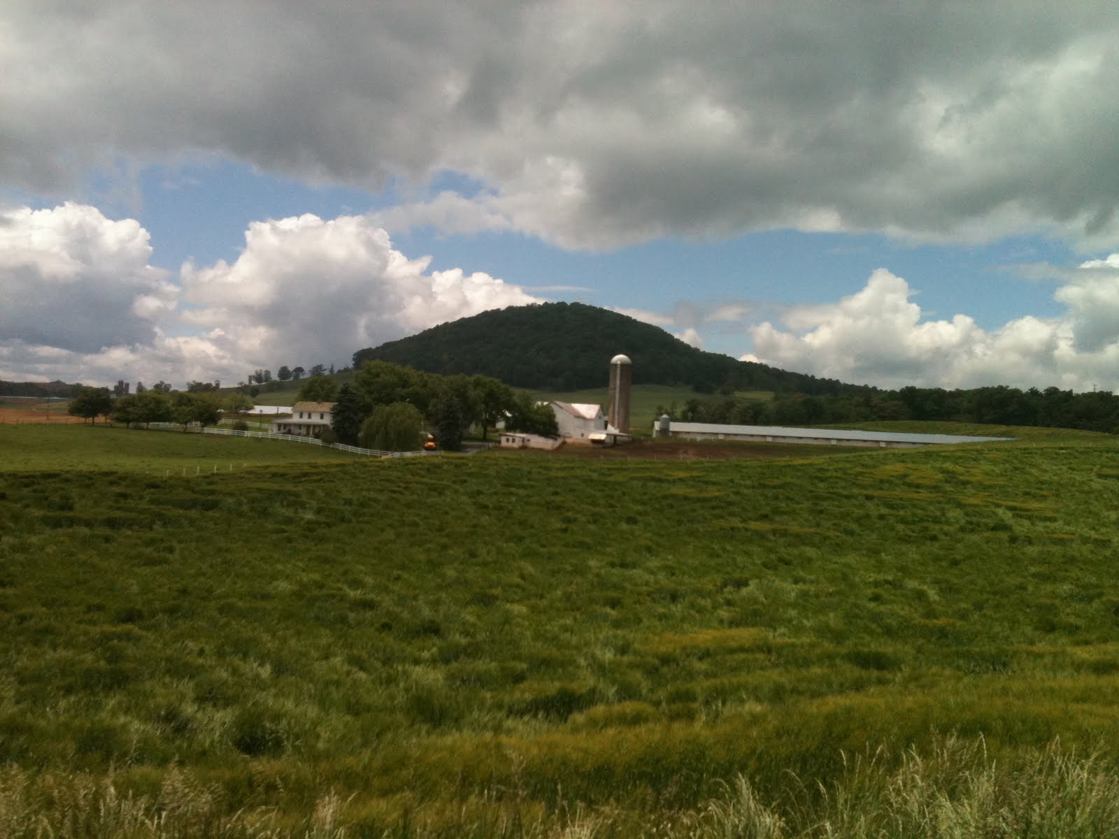
Chimney Rock and Ute Mountain in Southwest Colorado, Feb 2011

Chimney Rock and Ute Peak in Southwest Colorado, taken Feb 9th 2011.

Saturday, August 13, 2011

Photos from July

I had an interesting month of driving mostly in the mid-west with a few
trips back west. I spent a little more than a week as a contract driver for Walmart making local deliveries to Walmart stores centered around north central Illinois - Sterling to be exact. Just across the street from the Walmart center was a horse stable which included this very friendly and confident spotted horse, among others.

I went as far north as Lake Geneva, WI.

Surely you've seen these before.
But have you ever looked closely at the instructions?

Down to Bloomington, IL a couple of times where this grainary has been converted into an indoor climbing gym. What a great idea.

Up and west to Davenport, IA.

And had almost 20 hours of time off-duty in the actual town of Sterling and ended up walking about a half mile through the thigh-deep rock river to see what a couple fisherman were catching.

In the last couple weeks I finally got back west and had a full 34 hours off, my first in six weeks, in Cheyenne which had some crazy weather.

I met this kid at the Cheyenne Frontier Days celebration. He said the bike will do 60mph but you have drag your feet to stop.

After making it back to Kansas City for a very hot night (I really like that city), I headed back west through CO and UT.

Spent a night in Las Vegas and had so much fun riding my little bike up and down the strip, maneuvering between all the stopped traffic to the head of the line and then sprinting off at the green light to the next red. So hot out that my eyes were burning - at ten oclock at night.

Finally the long-awaited photo of my bike (taken by a couple of German students spending a month over here perfecting their English).

I finished July in Fresno CA to a fabulous sunset and a relatively cool night in a truckstop parking lot that doesn't smell like urine!

Public and Private lands in Wyoming

Hmmm. I found this post sitting in my drafts folder. I would have sworn I'd published this. Oh well.

After spending the last couple weeks back east, I'm heading back to Utah's Cache Valley with twenty one tons of Wisconsin cheese. Strangely, the Cache Valley is known for only one thing - cheese. Why would Wisconsin cheese be shipping to the Cache Valley?

I'm reading the book "Animal, Vegetable, Miracle" by Barbara Kingsolver and she's filled it with lots of very interesting facts about the American food production system. Like this: The US exports 1.1 million tons of potatoes each year, while at the same time importing 1.4 million tons of potatoes. Sounds like someone is getting rich on the distribution end of the deal.

Anyways... I'm spending the night in Rawlins, Wyoming. The last couple of times I've driven into this town from the west, I've admired a mountain just north of town called Cherokee Peak. Tonight was my opportunity to bag it. The Flying-J truckstop I'm parked at is just down the ridge from the peak so I headed uphill and reached the summit in a couple of hours.

Interesting land markings I saw from near the summit. Do you see the straight line in the middle of the photo? I'm sure it's made by an ancient alien race. Human's couldn't possibly make a line that straight. And is that light green circular section closest to us actually two overlapping circles? Is it a symbol for something?

Hiking down, after a fun close approach with a pronghorn antelope, near the bottom I climbed through a barbed wire fence and looked over the edge of a bluff into a verdant little valley with a farm house, some horses, another pronghorn antelope drinking water from a stream, and not thirty feet from the antelope a man yelling up at me "What are you doing up there?". I really need a new eye glass prescription because I couldn't tell if he was facing me or not. So I just yelled down, "HIKING", and continued down, crossed the fence again, and went down a dirt road toward the truckstop. Not five minutes later one of those little two-seat four-wheelers with a roof comes barreling up the dirt road. I thought I was going to get shot.

It turns out it's the guy who was at the bottom of the bluff at least two miles away via dirt roads. The guy then proceeds to explain to me the rules of private property in Wyoming, which are essentially - the burden to know which property is private and which is public rests on me, not on the property owners to post their land. He further explains that most of Wyoming was originally broken up by the US government as one square mile blocks - 640 acres - which were then sold off to private landowners in a mostly checkerboard arrangement. The land he and I were standing on (well, he was sitting in his little vehicle), was public Bureau of Land Management (BLM) land. But the land I passed through to get to that land was his, and another man's, and the land I had to pass through to get back to the truckstop was owned by someone else. In fact, Cherokee Peak is privately owned and I'd been trespassing. Apparently selling off the government land in this checkerboard pattern of private land and BLM land was somebody's way to get rich about a century ago. I'm not surprised.

We end up talking for an hour and I don't get shot, and he gave me the name and phone number of a guy who may be a good contact for the wind energy stuff I'm working on. Finally he gives me a ride back down to the truckstop through a pasture filled with bulls (which he said wouldn't have bothered me if I'd walked through, but I've never dealt with bulls before so I'm not so sure).

Funny how things work out.

Monday, June 27, 2011

Photos from June

Over the last few weeks since my last post I've been to many places and settled into a rhythm of driving, parking, biking, exploring, biking, sleeping, waking, driving. No great revelations. No thoughtful insights. Settling into a driving life of sorts. As usual, click on any of the photos to get a larger view of it.

Diamond Bar California, a suburb of Los Angeles and a central distribution hub with plenty of warehouses.

The Mojave desert in southern California.

Driving into Salt Lake after a rainstorm.

Twin Falls Idaho, the Snake River Canyon. Evel Knievel jumped this canyon just a half mile up-river. Incredible canyon, 600 feet down with shear basalt cliffs and then a little green paradise at the bottom. Apparently this bridge is the only place in America at which BASE jumpers can jump any day of the year without a permit. I saw a few poised on the edge as I drove over.

The Wasatch range near Ogden.

Western Wyoming, greener than I've ever seen it. Lots of rain this year. Global Climate Change. You gotta love it baby. Some places are winners (western Wyoming). Some places are losers (west Texas).

Graffiti in a men's room in Lincoln Nebraska. The little text at the end says "sadly not once in my lifetime". Yes. Sadly.


Same Men's room. No explanation needed.

The Missouri river flooding thousands of acres of farmland south of Lincoln Nebraska. Businesses in the area, but still above the water, had piled up dirt around their buildings about ten feet high in anticipation of the water rising higher.

Your's truly in a corn field in Nebraska. Or was it Iowa?

A guy I met in Cheyenne, Wyoming who I thought looked like he was from the same clan as me. Sure enough, he was of eastern European descent.

The view straight up from the inside of a large human-torso-shaped sculpture in downtown Des Moines, Iowa in the middle of the night. This was a ten mile bike ride into town, and ten miles back out. Yes, I was beat by the time I got back to the truck.

The Holy Family Shrine in Gretna, Nebraska. I've seen this building from I-80 since February and finally had the time to stop and visit. Incredible building. So much thought built into it.

Though a tenth the size, it 'felt' as spiritual walking in as any of the great cathedrals of Europe.

A young recent Russian immigrant to Virginia Beach in her usual bicycling attire. What a nice beach town Virginia Beach is.

The Tarragon, Oregano and Basil I'm growing on my truck. Unfortunately, the Oregano has since bit the dust. Nothing like having some fresh herbs on a sandwich.
A portion of the Doctor Seuss memorial in Springfield, Massachusetts.

Tuesday, May 31, 2011

Short Hike in the Mohave Desert

I've driven over this 200 mile section of I-40 between Barstow and Needles, California a dozen times over the past few months (half of them asleep in the back), but when I've been awake I've admired a particular notch the road passes through for it's easy access to a couple of nearby peaks.
View Larger Map
While driving through yesterday, I had plenty of time on my clock so I stopped for an hour and bagged one of the peaks.
A few weeks ago, on this same stretch of road I spent an hour stopped on the highway watching a truck trailer burn from about a half mile back. Fortunately the driver disconnected the tractor before it got too bad.
Looks like carrots to me. Apparently one of the back brakes was dragging and got so hot it lit the tire on fire, which caught the entire tractor on fire.

Saturday, May 28, 2011

I was part of the problem

I just carried 22 tons of bottled water, more than 30,000 pint bottles, from a suburb of Fort Worth to a Walmart distribution center in Arkansas.

Civilization has finally reached the point at which clean, disease free water is available from ANY tap in America when suddenly everyone is convinced water bought in a bottle from sources unknown, at 1,000 times the cost, is better.

WTF?

I don't want to think about where those 30,000 bottles will end up.

Monday, May 23, 2011

Tornados and Hurricanes

I'm in Laredo again. And this time I'm spending my 34 hour reset here so I decided, now on my eighth visit, perhaps it's time to actually see the town rather than just hibernating at the England facility. It's 104 degrees out "but it's a dry heat" (actually it's a 34% humidity level so it's a bit sticky), but I rode the bike the nine miles to downtown and went through a half gallon of water doing it. Had I not spent last summer in similar temperatures in South Carolina, I know I wouldn't be able to handle this.

I've now found a television and am watching the news about the tornado in Joplin Missouri. I've been through Joplin a half dozen times over the past few months. Apparently the Flying J truckstop I've fueled at there was destroyed.

Over the last week while driving down from Virginia, I passed through five tornado paths, one an exit on the highway in Alabama that looked just like the photos I'm seeing now of Joplin. Trees stripped of foliage and many snapped in half 30 feet above the ground. A few trees, big ones, strewn about with their root balls intact. And buildings unrecognizable piles of rubble. The other tornado sites were just bare spots in the forest with a few highway signs left as twisted chunks of metal. Pretty frightening.

I also spent a night in Crystal Beach, Texas. This barrier island town, across the Houston bay from Galveston, was completely destroyed by hurricane Ike a few years ago. Completely. More than twenty feet of water washed over the island wiping out 3500 homes and killing more than 100 people.
Today all the new buildings are required to be 22 feet above sea level which means most of them have been built upon nearly twenty foot tall stilts.

Saturday, May 21, 2011

Mennonites drive tractors

I picked up a load of 22 tons of chilled (not frozen) turkey for which I waited about four hours. I awoke from the nap I was taking while waiting only to discover that the trailer I was waiting for was now sitting next to my truck, but that everyone had gone home - at 5:04 pm! This turkey place was in the middle of the Shenandoah valley in Virginia. Beautiful country that looks as if you could grow anything.
The entire valley is above about 1300 feet elevation so it was considerably cooler than the previous day I'd spent near the coast in Norfolk.

Driving south out of the valley the highway climbed up to 2200 feet near Christiansburg VA to top off in a high plateau which I had no idea existed. Driving south through Tennessee I was struck by the scents. First, very floral in northern Tennessee. When I lived in South Carolina last summer I noticed a continuous spicy smell from the forest. Driving through southern Tennessee and northern Alabama I smelled something similar, but just a bit different.

I also saw some of the devastation from the Tornadoes from a few weeks ago. Five different locations, one of which was an entire town at an exit on the highway. Every tree within a half mile had been completely stripped of leaves and many of the remaining trunks had been cut in half. What had been a forest was now a wasteland. I even saw a few trees with two-foot wide trunks pulled completely out of the ground with their root balls and all, just strewn across a field. The dual 60 foot tall towers previously holding the sign for a Petro truck stop was stripped of it's sign and both towers were bent at a 30 degree angle. The Petro station itself was crushed. Frightening. Unfortunately no good photos.

So, as I was pulling out of the turkey place in Virginia, somehow the security guy (who had a definite New York accent) and I got to talking about the local Mennonite farmers. He told me that every night the local roads are crowded with Mennonite farmers driving their tractors (not horses and buggies) between their various plots of farm land. Apparently the Mennonites in the Shenendoah Valley are called "horse and buggy old order Mennonites" who have justified the use of tractors for farming, but no other modern convenience. On my drive into the turkey plant I passed someone in a horse and buggy.

Which got me thinking that Mennonites might be a really good source of information on low-energy/low-carbon ways of living. Their carbon footprints, other than their tractors, must be near zero because they're still living in essentially the same conditions everyone lived within in pre-petroleum days. I bet they have a bunch of good information on how to live comfortably in such a low-energy consumption way of life.